15 min
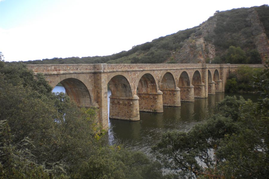
Puente Quintos
A nine-arch bridge over the Esla, associated with the Camino Sanabrés corridor. It makes visible the river crossing that explains the whole territory.
The municipality is a good base for the north-central part of Zamora province. These excursions start from Moreruela de Tábara and complement the local visit rather than replacing it. Approximate driving times without traffic, calculated on 03/08/2026: check them on an up-to-date navigation app before travelling.
How much time do you have
The Esla is the thread that ties this land together. The same river that is dammed at Ricobayo, beside the municipal district, turns up in these two stops: a historic bridge and an abandoned fortified town.
15 min
A nine-arch bridge over the Esla, associated with the Camino Sanabrés corridor. It makes visible the river crossing that explains the whole territory.
29 min
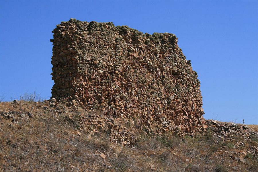
A fortified medieval deserted town beside the Esla, with castle ruins. It extends the theme of defensive settlements along the river, from El Castillón into the Middle Ages.
Whether an early medieval monastic community stood at Moreruela de Tábara is still argued. These three stops give that argument its context: the world of the Beatus manuscripts, a church of the Tábara area and the great monastery that, despite the name, is in another town.
11 min
A historic town with the church of Santa María and the Beatos Interpretation Centre, housed in a space linked to the old scriptorium (the monastic workshop where manuscripts were copied). It gives context to the monastic world that surfaces at San Miguel in Moreruela.
15 min
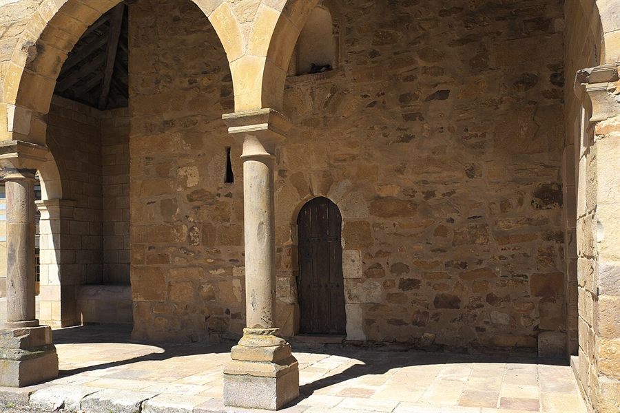
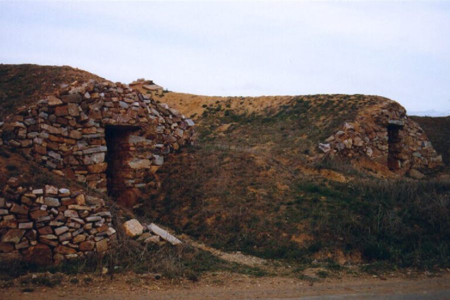
A village in the Tábara area with the church of San Martín and a link to the Camino Sanabrés. It reinforces the reading of the small churches of the area.
23 min
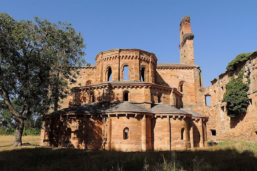
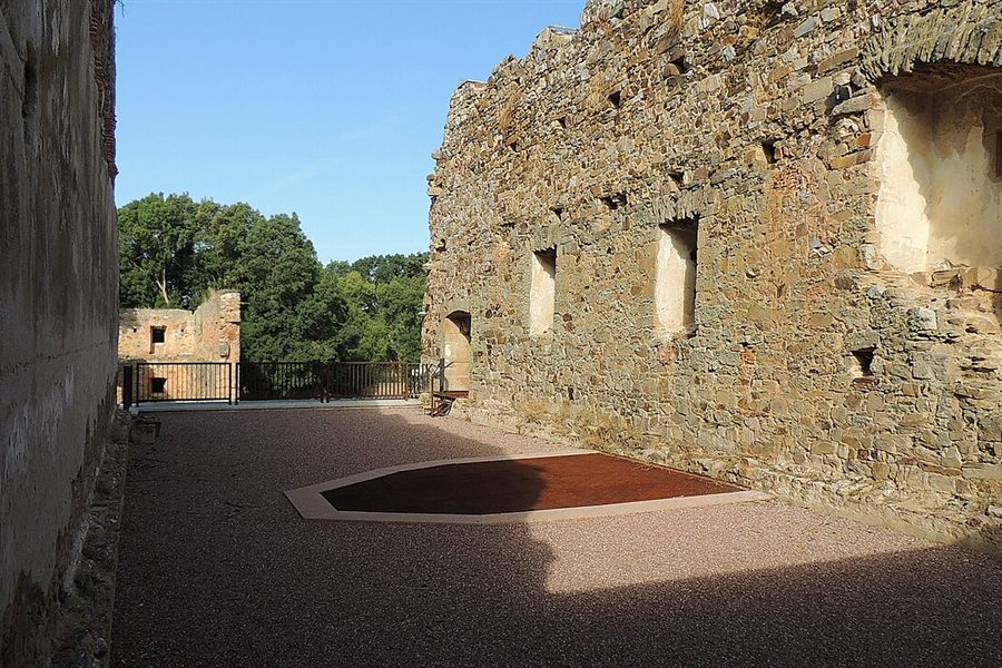
A large medieval monastic complex in Granja de Moreruela, a different town from Moreruela de Tábara. Comparing it with the modest churches of this municipality is precisely its appeal.
Not all heritage is made of stone. Four minutes away a winter masquerade is still held; three quarters of an hour away, the costume of a whole area is kept.
4 min
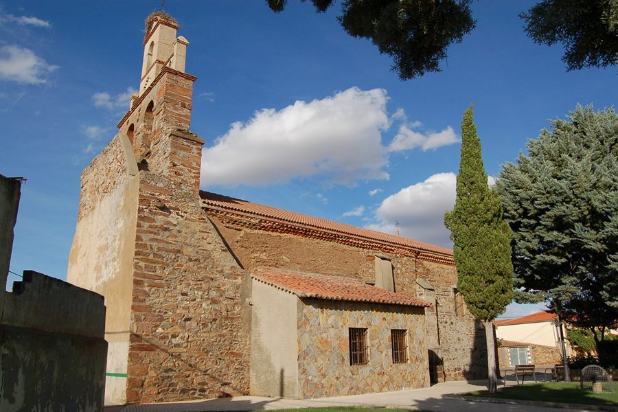
A neighbouring village known for El Tafarrón, its winter masquerade (a traditional festival with masked characters). It adds living intangible heritage to the stone-and-museum plan of the two villages.
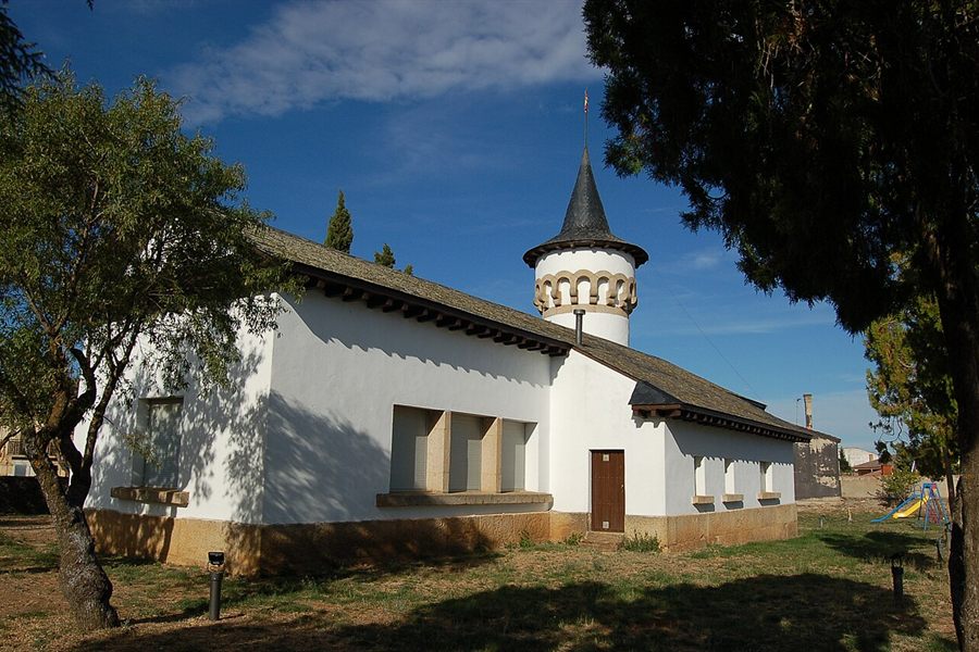
45 min
The Fuerte de San Carlos, a bastioned fortification of the 17th-18th centuries, and the Carbajalino Costume Museum. It adds border history and traditional dress to the story of stone and wool.
Northwards the landscape opens up: cereal, salt lagoons and the birds that choose them every winter.
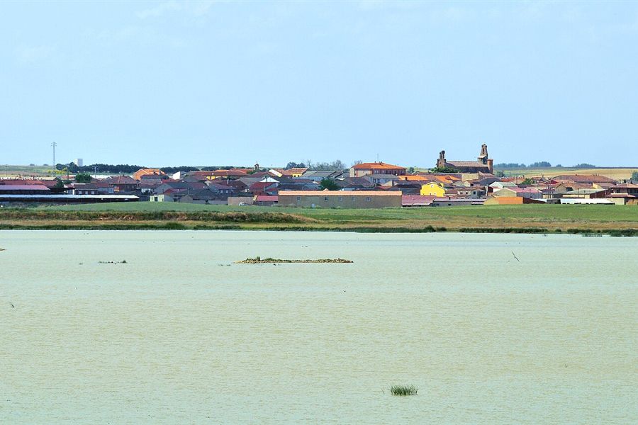
36 min
A nature reserve of salt lagoons in a cereal landscape, important for migratory birds, with the «El Palomar» park visitor centre. It offers wildlife watching that the local riverside does not.
The two cities that serve as a way into the area, and as a fallback when the weather does not cooperate.
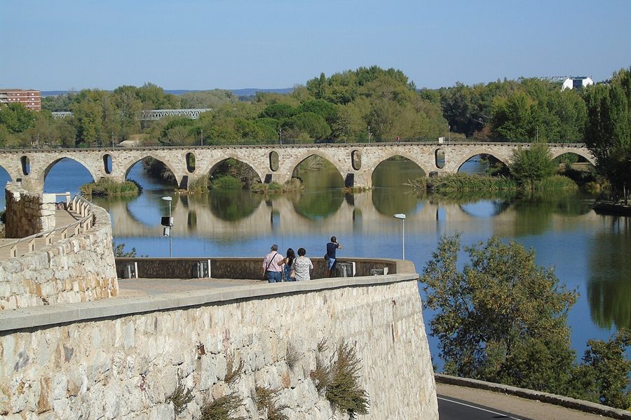
38 min
The provincial capital: Romanesque architecture, museums and services. It works as a gateway and as a plan for a day of bad weather.
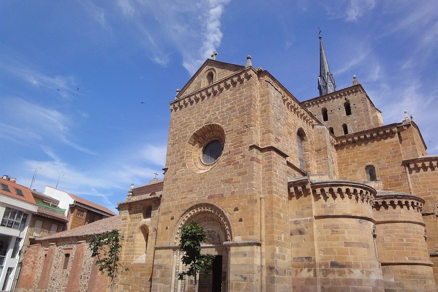
40 min
An urban centre and road junction with heritage and a wide range of services. Its usefulness is mostly practical: the northern gateway from the A-6.
Moreruela and Santa Eulalia are the starting point: organise the local visit first.
Plan your visit